
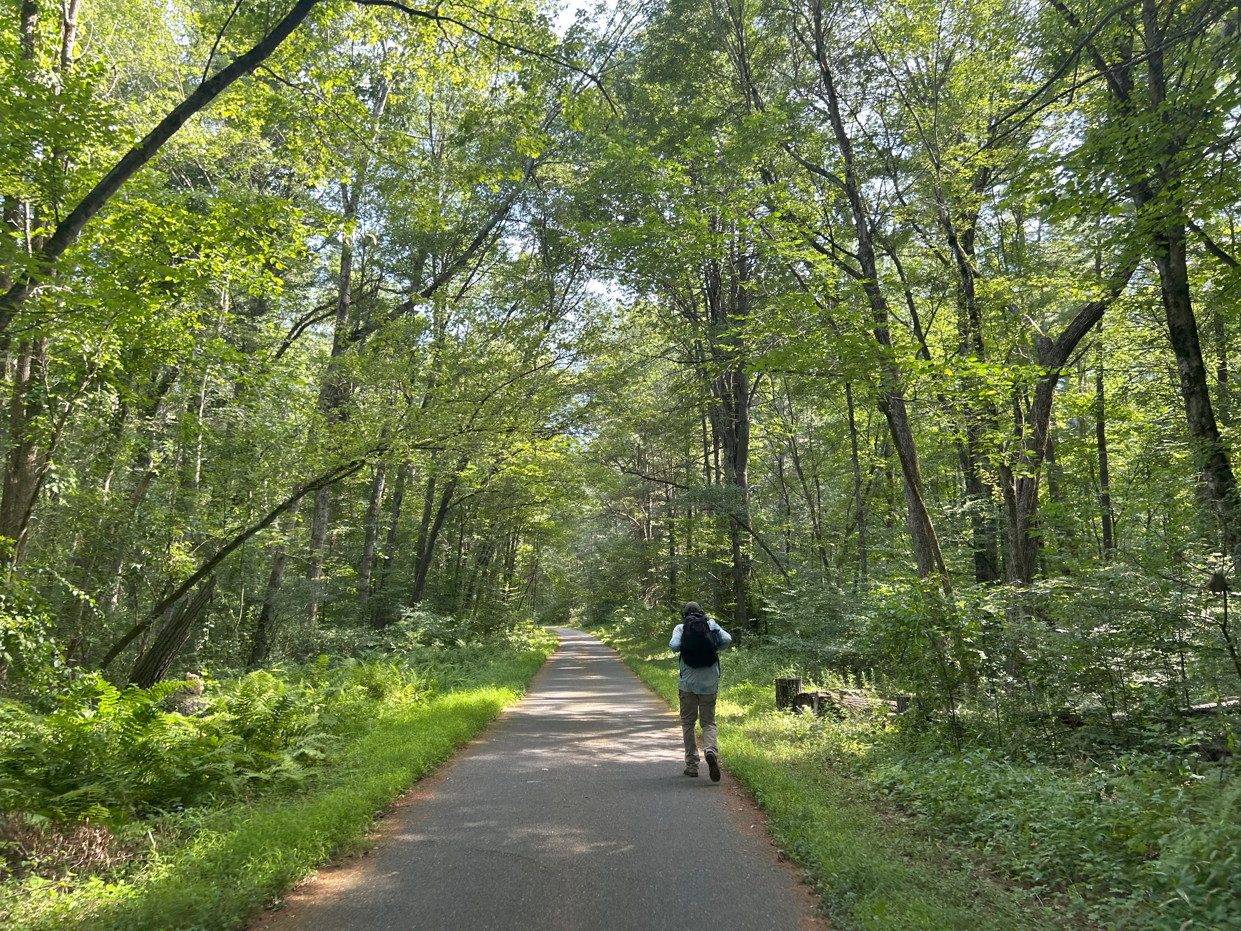
This engaging “out-and-back" ride takes you through forest, grasslands, wetlands and along the Nashua River, ending just over the border in New Hampshire. Because this route is 100% on-trail, it makes a great ride for those who are newer to trails or for families with young kids. You don’t have to do the full 25 miles to have fun. When you're done with your adventure, just turn around and head back to the trail start.
The Nashua River Rail Trail was built by the Department of Conservation and Recreation (DCR) along a branch of the former Boston & Maine Railroad, which carried passengers until 1934 and freight until 1981. The trail spans 11 miles from Ayer to the state’s Northern border and continues another mile-and-a-half into New Hampshire. The Massachusetts portion of the trail was completed in 2002. Today, it is a 10-foot-wide paved path, with a portion of the trail featuring an additional 5-foot-wide gravel path for people traveling on horses. It intersects with many dirt paths, making it a great option for people looking to go on adjacent adventures or add a short hike to their ride.
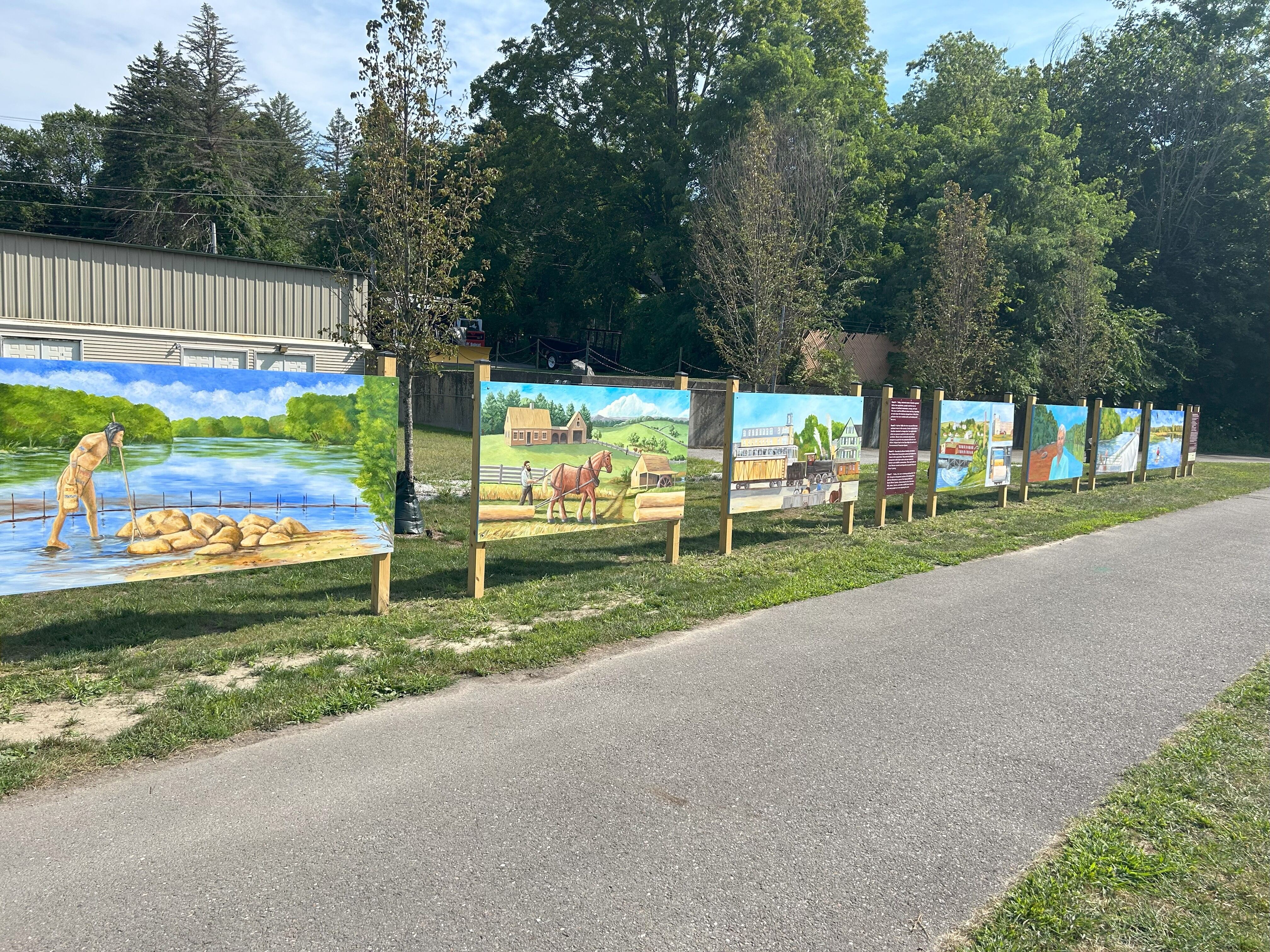
The “P” and “W” granite markers along the trail give the distance (in miles) to Portland (Maine) and Worcester, respectively.
In addition to parking options shown on the map, this route is accessible by Commuter Rail from Boston. The T has information about bringing your bike on the system. Commuter Rail tickets can be purchased on the train, or on the mTicket app.
Getting there:
MBTA Fitchburg Line: If you're interested in taking transit to the start of the trail, catch the MBTA Fitchburg Commuter Rail line. From Boston, it is about an hour to Ayer on the train from North Station. On weekdays, this line runs hourly or every two hours to Ayer (check the schedule), and on weekends it runs roughly every two hours.
Getting back:
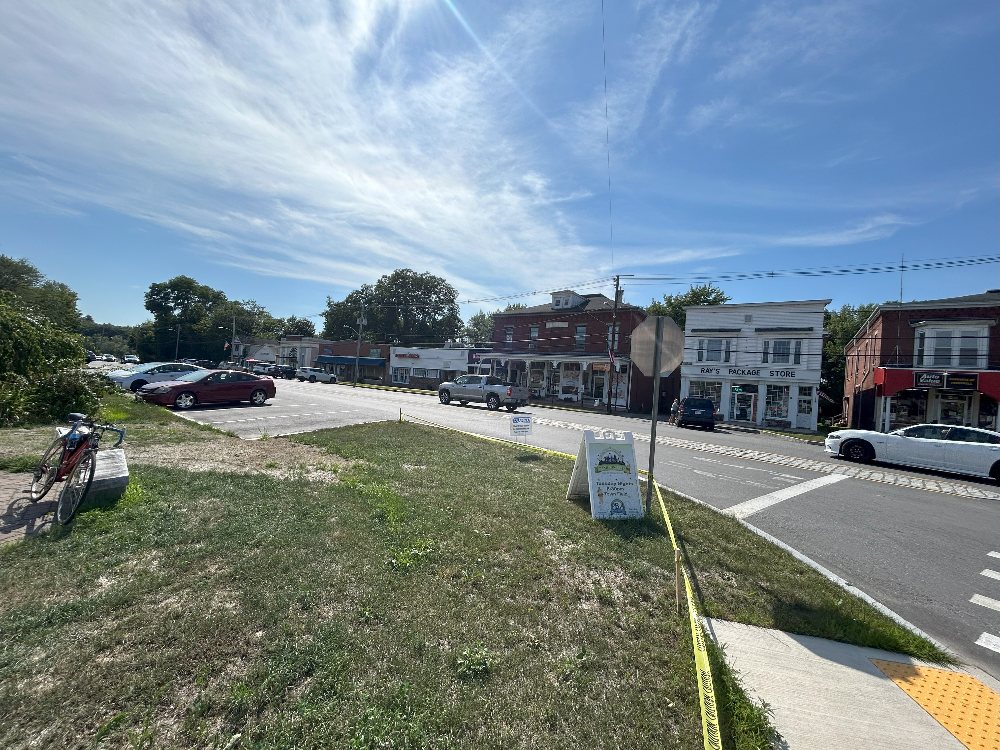
MBTA Fitchburg Line: At the end of your out and back ride, you’ll return to Ayer Station where you can hop back on the MBTA Commuter Rail Fitchburg Line to your stop of choice. Keep an eye on the timetable, as the train only runs past Ayer roughly every two hours. If you miss the train, you can check out some of the shops along Main Street while you wait for the next train.
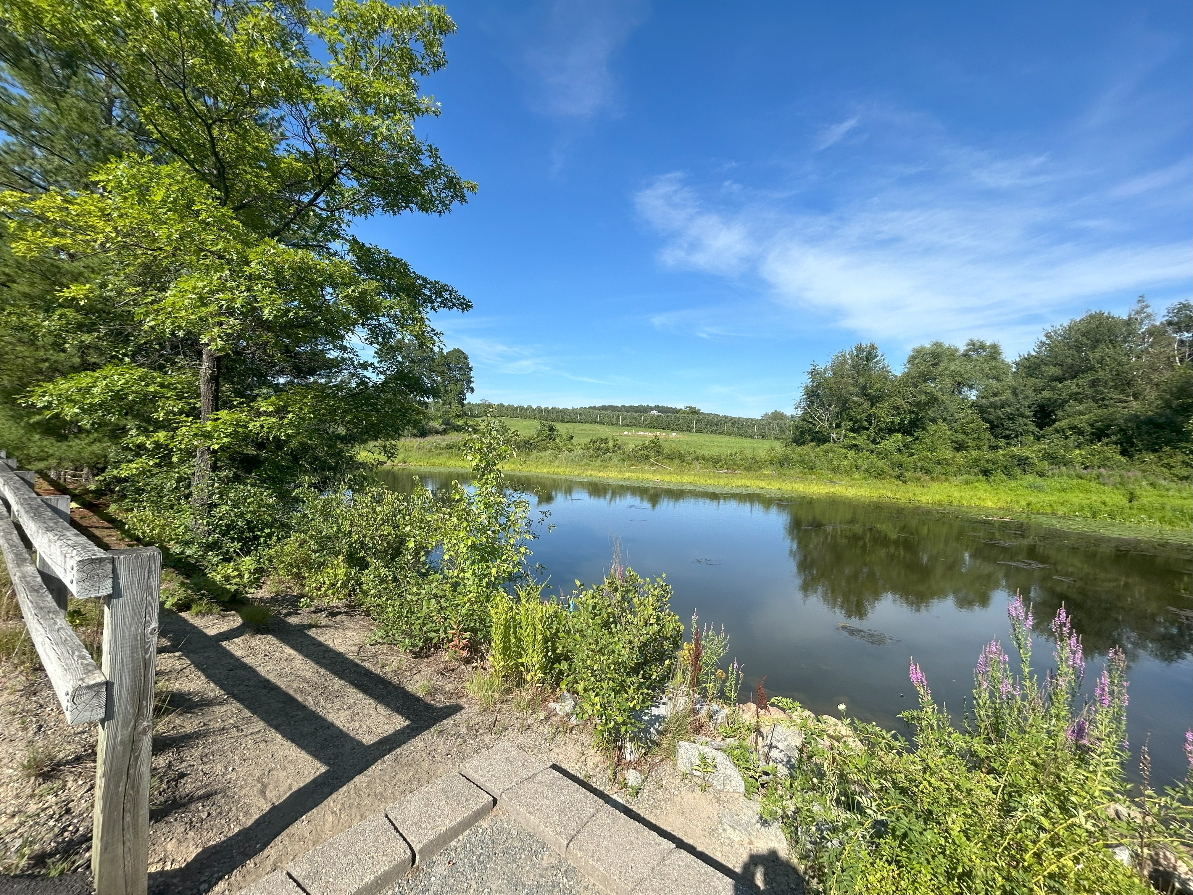
Groton School Pond (2.2 miles from start)
There are coarse granite benches offering a place to sit and observe wildlife and plants at this scenic pond.
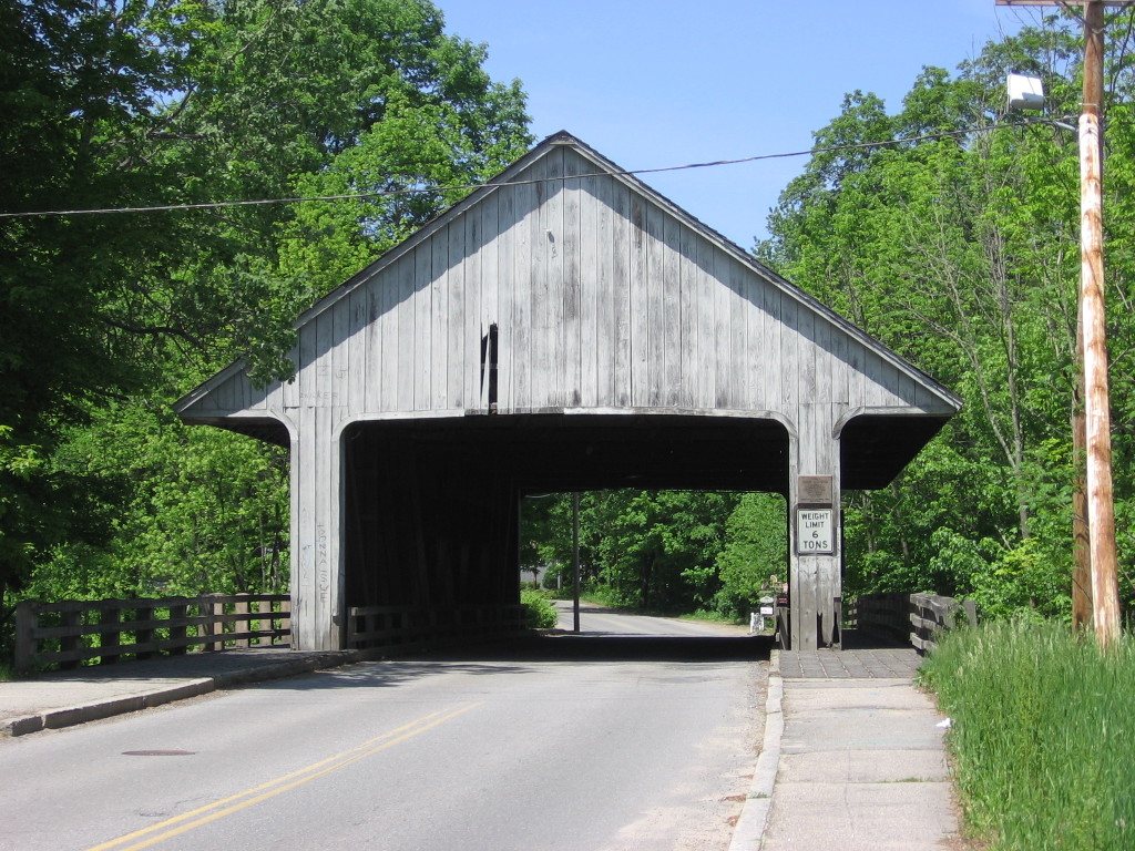
Historic Pepperell Covered Bridge (8.1 miles from start)
Located just off-trail, the historic Pepperell Covered Bridge(in its current form) opened in 2010. There has been a covered river crossing structure at that spot since about 1740. It weights almost 500,000 pounds and is one of only three covered bridges in Massachusetts open to vehicle traffic. The Town of Pepperell gives a wonderful history of this bridge on their town website.

DCR manages the Nashua River Rail Trail.
The Friends of the Nashua River Rail Trail is a group of volunteers that supports and promotes the Nashua River Rail Trail.