
Your route starts in Pittsfield at the path’s southern trailhead. Along the route, you will catch views of the Hoosic Range, Mount Greylock, the Cheshire Reservoirs, and you will cross the Hoosic River multiple times. The route is designed as a one-way from Pittsfield to Adams, with the option to catch a bus from Adams back to Pittsfield. You could, alternatively, reverse the route, or make it an out-and-back.
If you choose to arrive by public transportation, it is a reasonable 3-mile ride on-road from the Joseph Scelsi Intermodal Transportation Center, served by local and intercity buses as well as Amtrak.
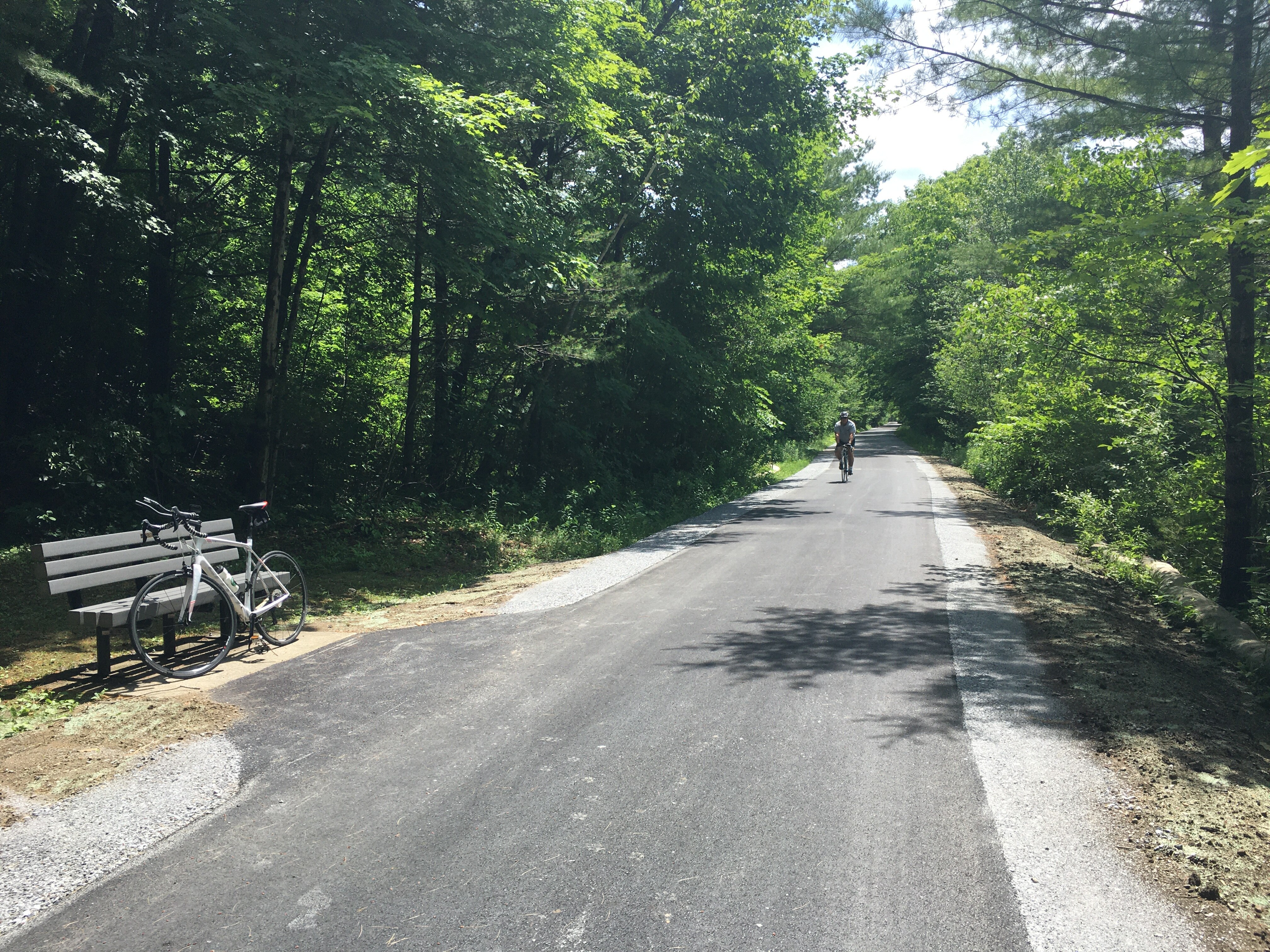
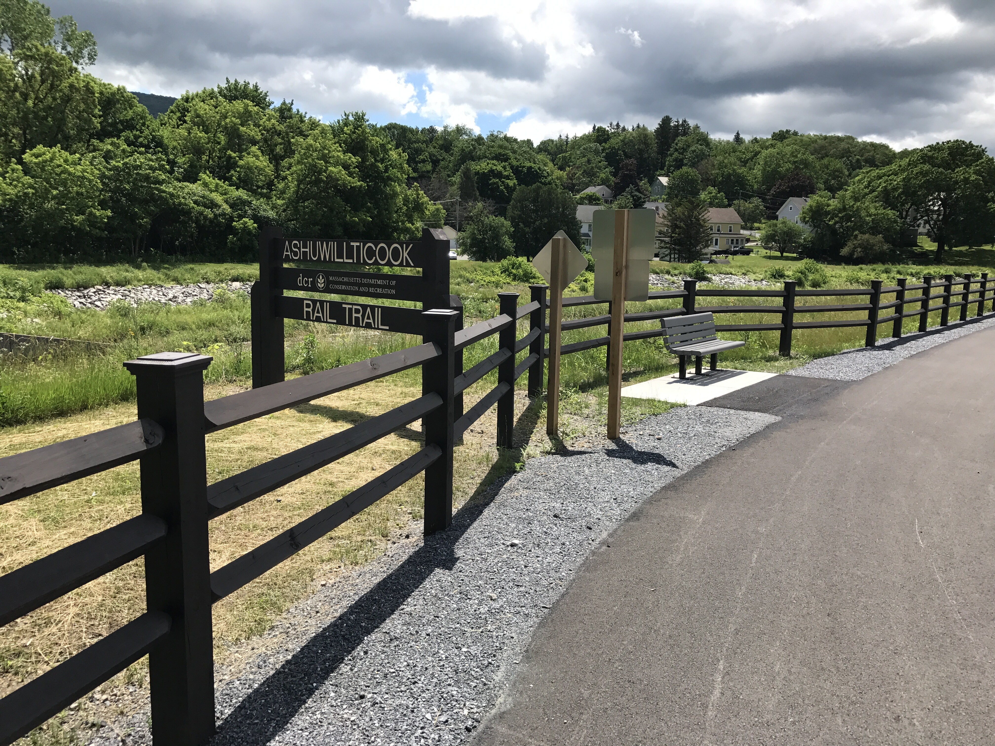
This 14-mile trail runs from Merrill Ave in Pittsfield to Lime Street in Adams, following the course of the Hoosic River for nearly seven miles. Maintained by the Department of Conservation and Recreation (DCR), this 10-foot wide universally accessible, paved path traces the route of the former Pittsfield & North Adams Railroad, originally constructed in 1842 and later acquired by the Boston & Albany Railroad. The trail’s name comes from a Mahican (Mohican) word in the Algonquian language family, often translated as “pleasant river between the hills,” a reference to the Hoosic River Valley’s landscape between the Hoosac and Taconic ranges. The Ashuwillticook trail is beloved for its views of Mount Greylock — the highest point in the Commonwealth — and its incredible ecological diversity, especially within the Hoosic River watershed. The trail is part of the broader Berkshire Bike Path vision, a shared path that would run almost 50 miles through Berkshire County, connecting Williamstown to Sheffield.
In addition to the parking options shown on the map, you can access this route via Berkshire Regional Transit Authority (BRTA) bus or intercity private bus operators. All BRTA routes are operating fare-free at time of publishing, but please see their site for up-to-date information. BRTA also provides information about bringing bikes on the bus.
Getting there:
You can find parking located on the map or see information about car-free options below.
BRTA Bus: Many BRTA buses serve Pittsfield’s Intermodal Transit Center, where the route starts. Check brta.org to find a bus that works for you.
Private Bus: Peter Pan runs a bus from Worcester once a day, which takes about 3 hours.
Getting back:
BRTA 1 bus: At the end of the route, you can catch the BRTA 1 bus back to the ITC. It runs once an hour from Adams to Pittsfield Monday through Saturday. It does not run on Sundays.
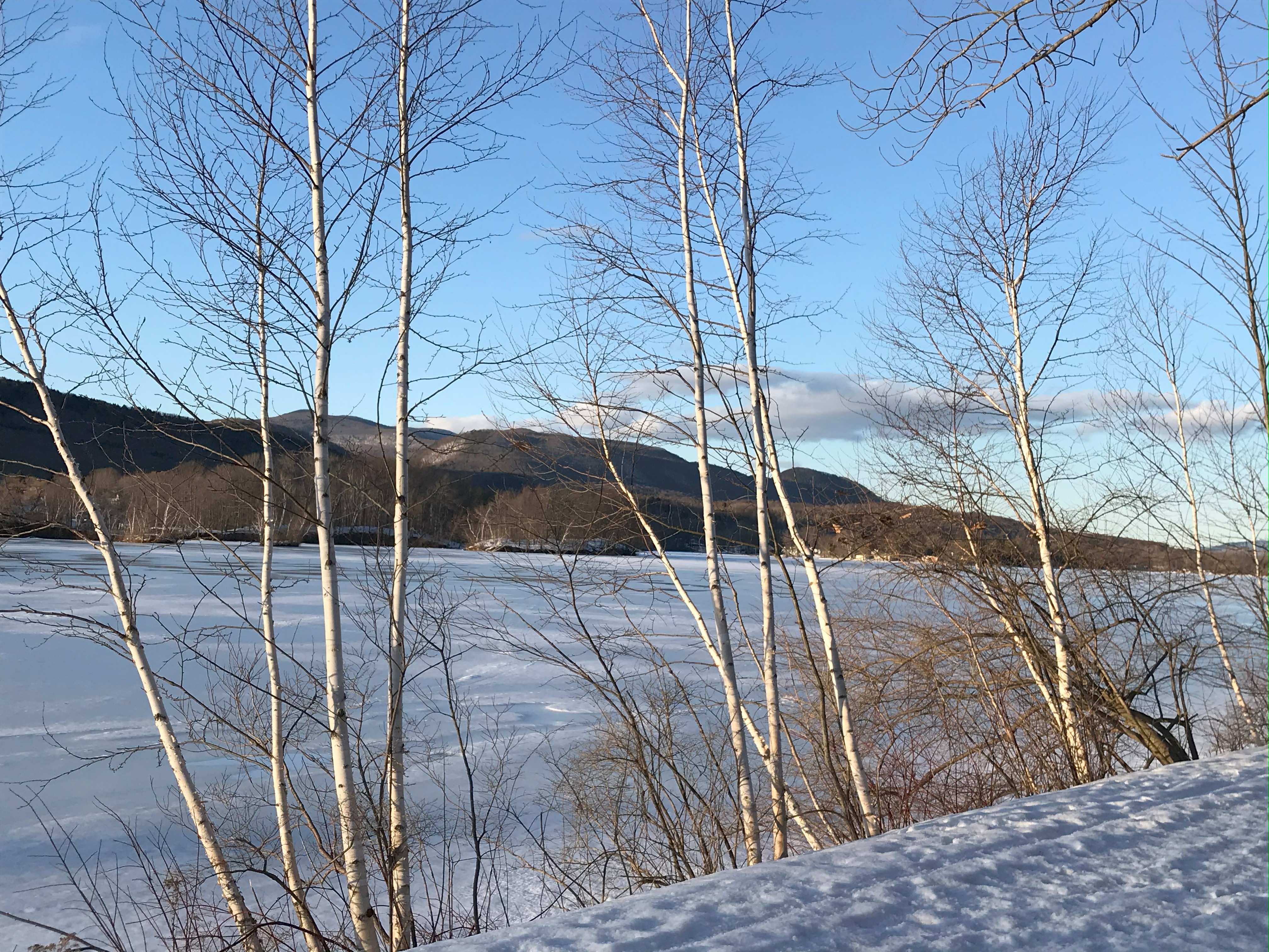
Cheshire Reservoir (5 miles from start)
Three sections, also known as basins, make up the Cheshire Reservoir: North, Middle, and South. The Cheshire Dam, which makes the reservoirs possible, was built in 1870. Recreational paddling and boating are allowed in the Reservoir.
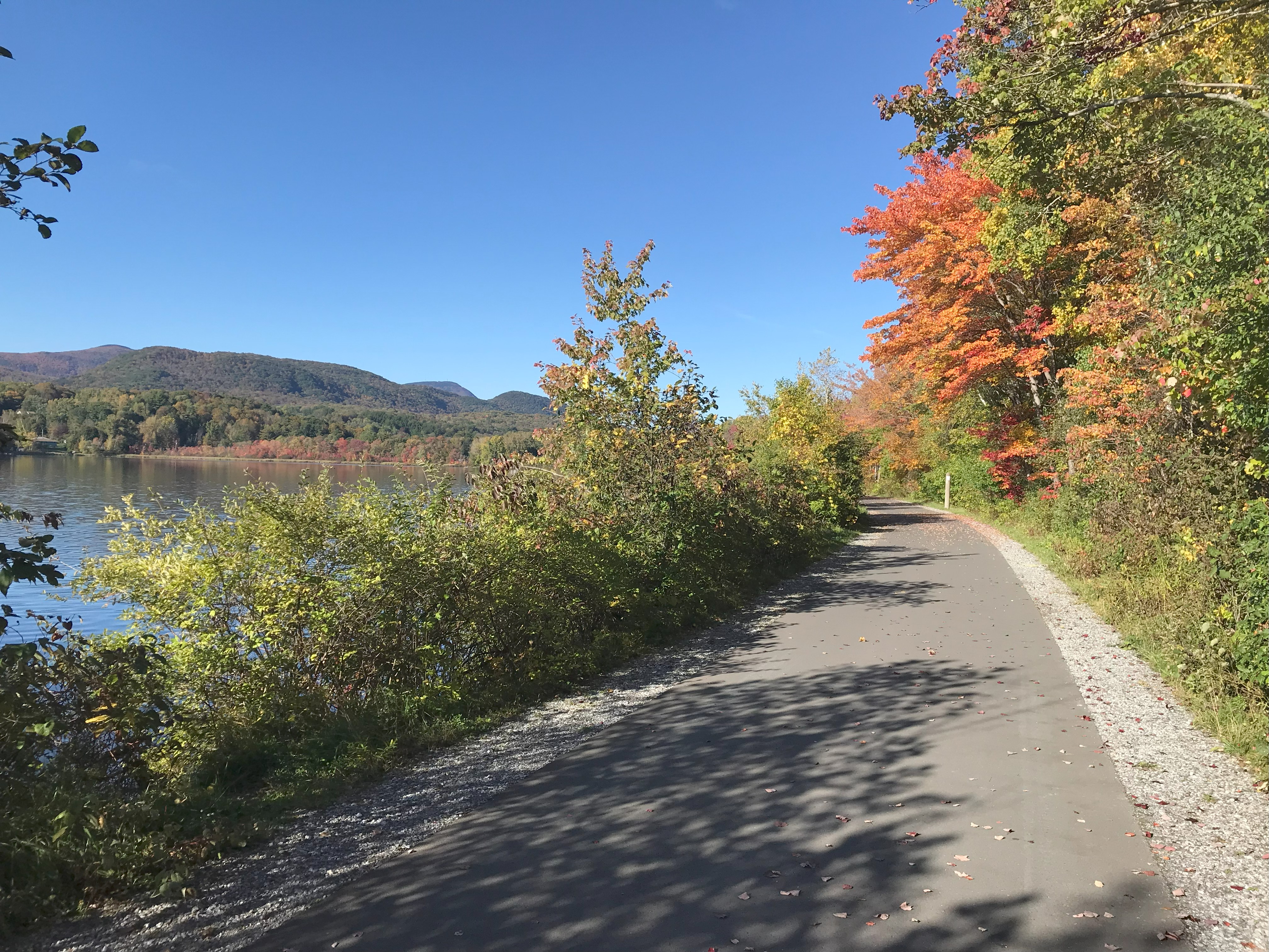
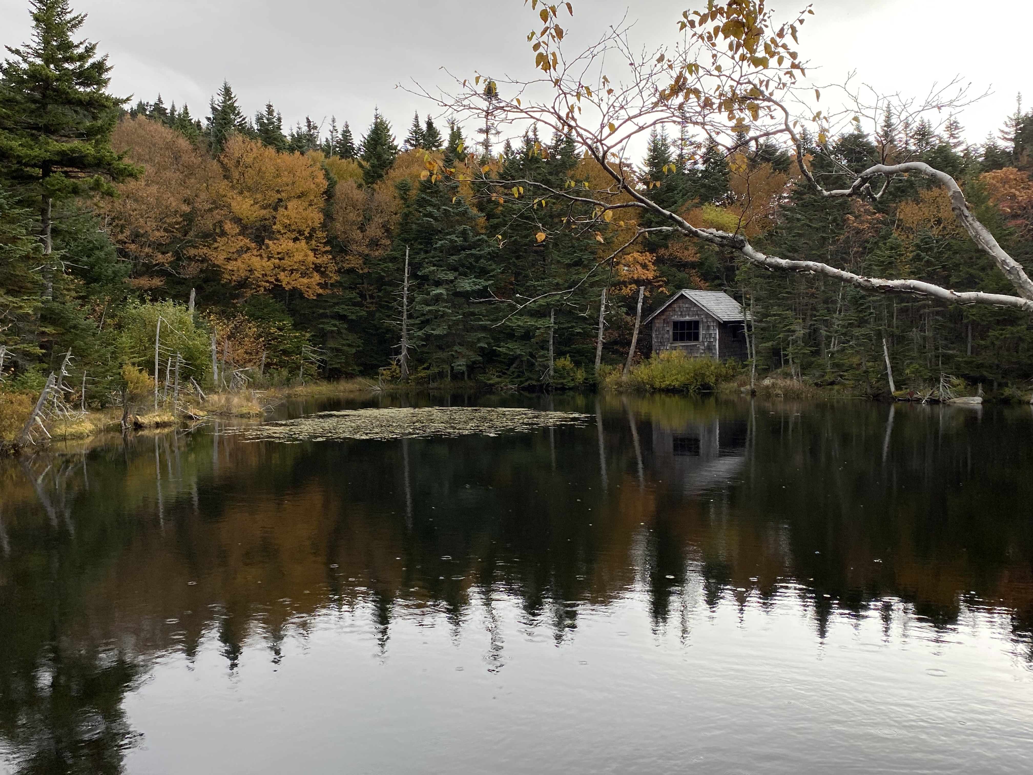
Hoosic River (7.2 miles from start)
The Hoosic, alternatively referred to as the Hoosac, is a 70-mile river that travels through Massachusetts, New York, and Vermont. A 29-mile stretch of the Hoosic is designated as a Local Scenic River in Massachusetts. Its watershed is part of the larger Hudson River Watershed. The trail crosses the river multiple times, so you’ll have many opportunities to contemplate this important natural resource as you ride.
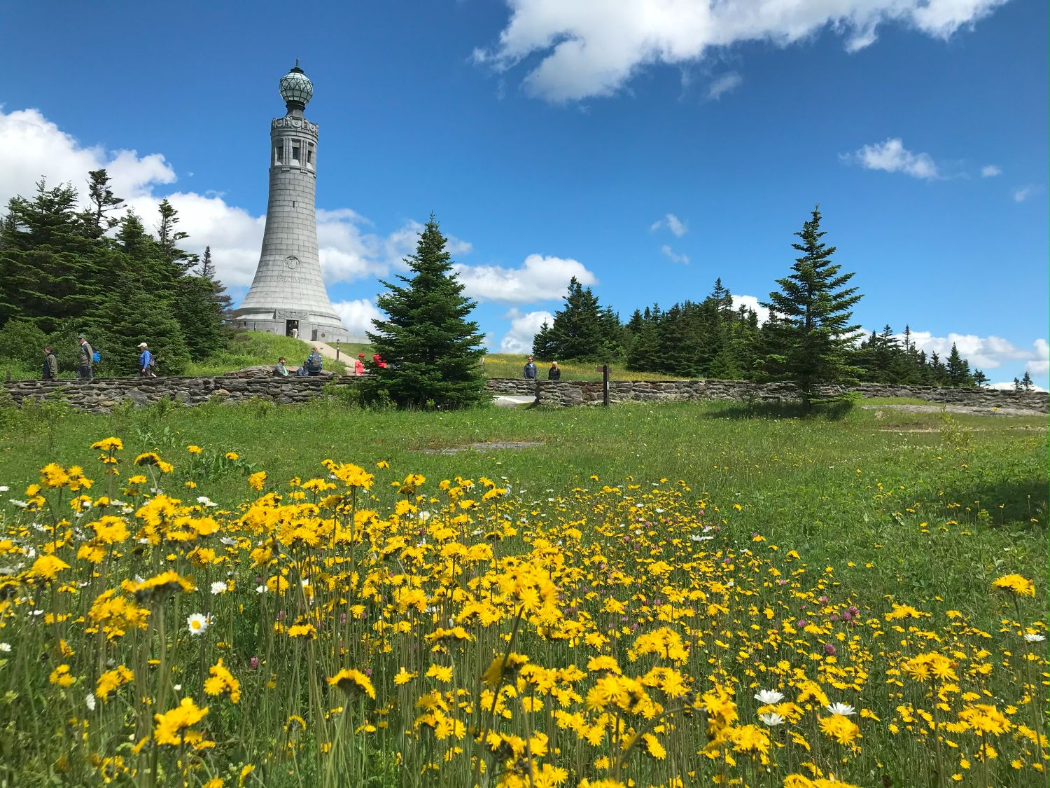
Mount Greylock (off-trail)
This route offers spectacular views of the highest point in Massachusetts, Mount Greylock. It is part of the Taconic Range and is visible to the west.

DCR, who maintains the trail, has a website with additional information about the Ashuwillticook. There is a public Facebook page called Friends of the Ashuwillticook. The Hoosic River Watershed Association also suggests other on-road bike rides available in the area